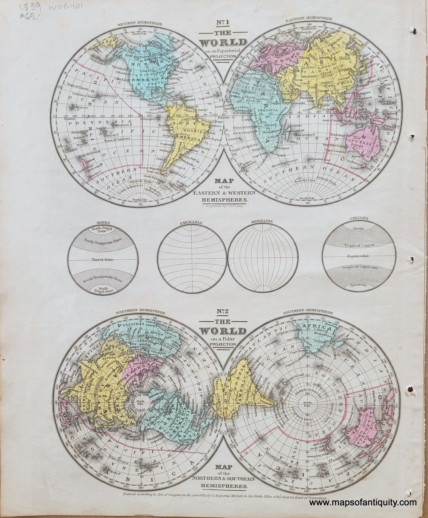
Winter hours: Tuesday - Saturday 10am to 5pm. Close Sundays and Mondays until May. We appreciate your business!

Antique map of the world in hemispheres. East and West hemispheres and North and SOuth hemispheres in 1839. Vibrant original hand-coloring in antique shades of blue, green, yellow, and pink

1839 - No. 1 The World on an Equatorial Projection & No. 2 The World on a Polar Projection - Antique Map

Regular price
$65.00
Sale price
$65.00
Regular price
Sold out
Unit price
per 
Shipping calculated at checkout.

Item number: WOR401
Genuine Antique Map

1839/1851

Maker: Mitchell.


Antique hand-colored page of maps showing the world as split into the eastern and western hemispheres, and then split into the northern and southern hemispheres. By Mitchell, copyrighted 1839 and published in Mitchell's School Atlas. Very good antique condition with mild overall toning and some areas of foxing. Tight margin on right. Page measures approximately 12" x 9.5".


Item Number: WOR401