
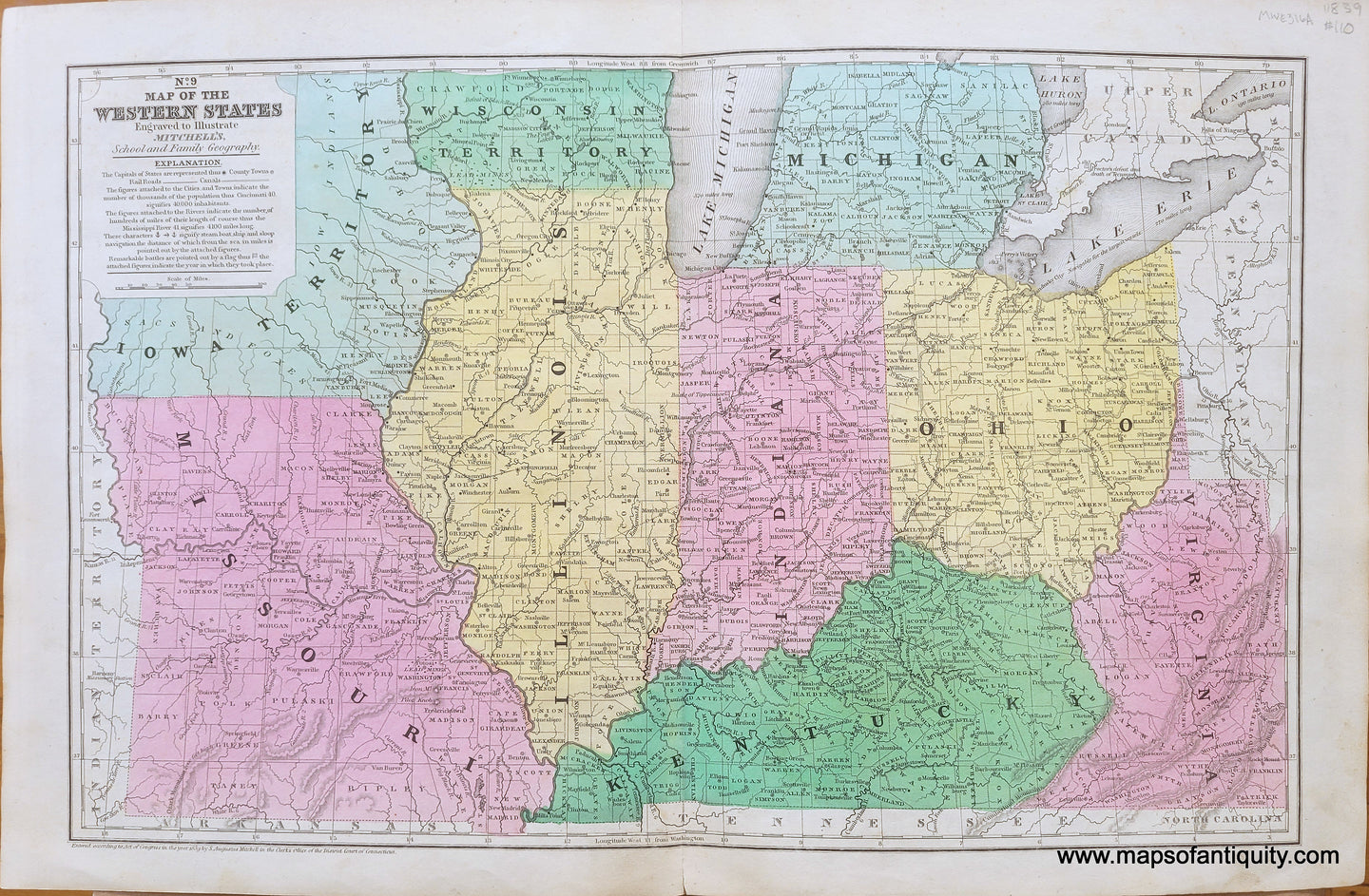
Item number: MWE316A
Genuine Antique Hand-Colored Map
1839
Maker: Mitchell.
Antique hand-colored map of a portion of the Midwestern United States (Iowa when it was a territory, Missouri, Illinois, Indiana, Kentucky, Ohio, and modern day West Virginia,) By Mitchell, in "Mitchell's School and Family Geography," 1839. This map is too early for railroad lines but does have a "National Road" that appears to reach St Louis, and some topographical detail. Very good condition with overall toning and some minor stains. Measures approximately 10.25" x 16.25" to the neatline.
Item Number: MWE316A