
Item number: EUR2455
Genuine Antique Map
c. 1890
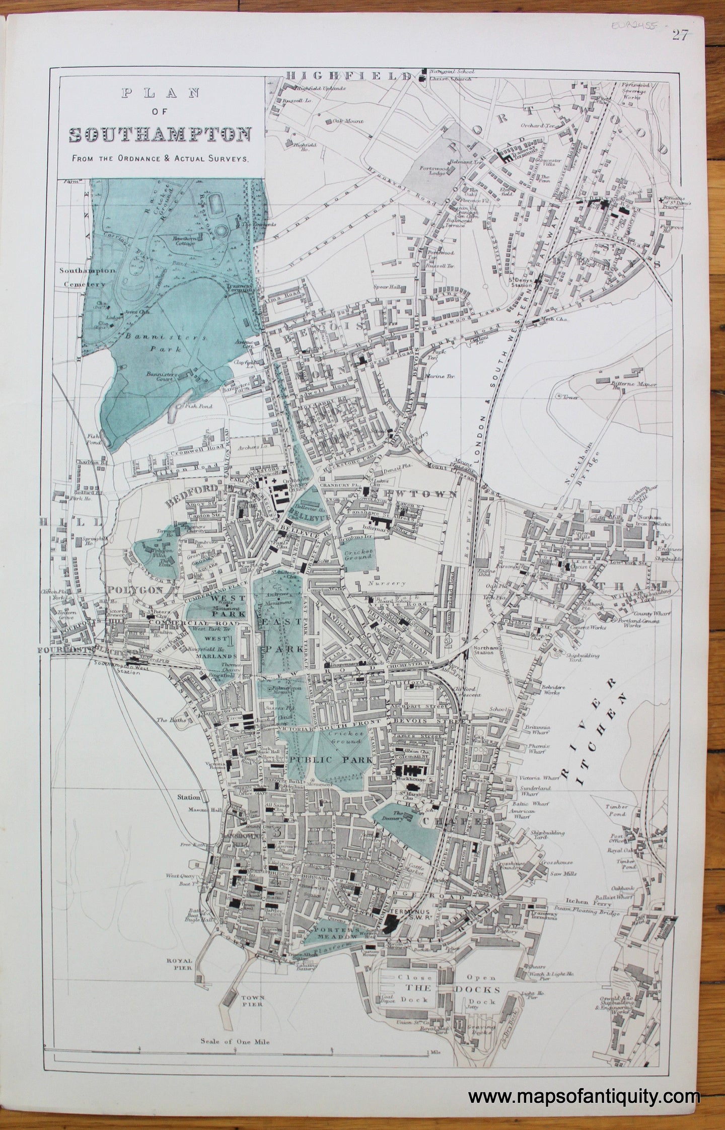
Maker: Bacon.
Antique map of Southampton, England, by G.W. Bacon, c. 1890. Includes roads, railroads, businesses, churches, parks, docks, and more. Very good condition with a few tiny spots in the margin. Approx. 19.5 x 12.25 inches to the neatline.
Item Number: EUR2455