
Item number: EUR2552
Genuine Antique Uncolored Map
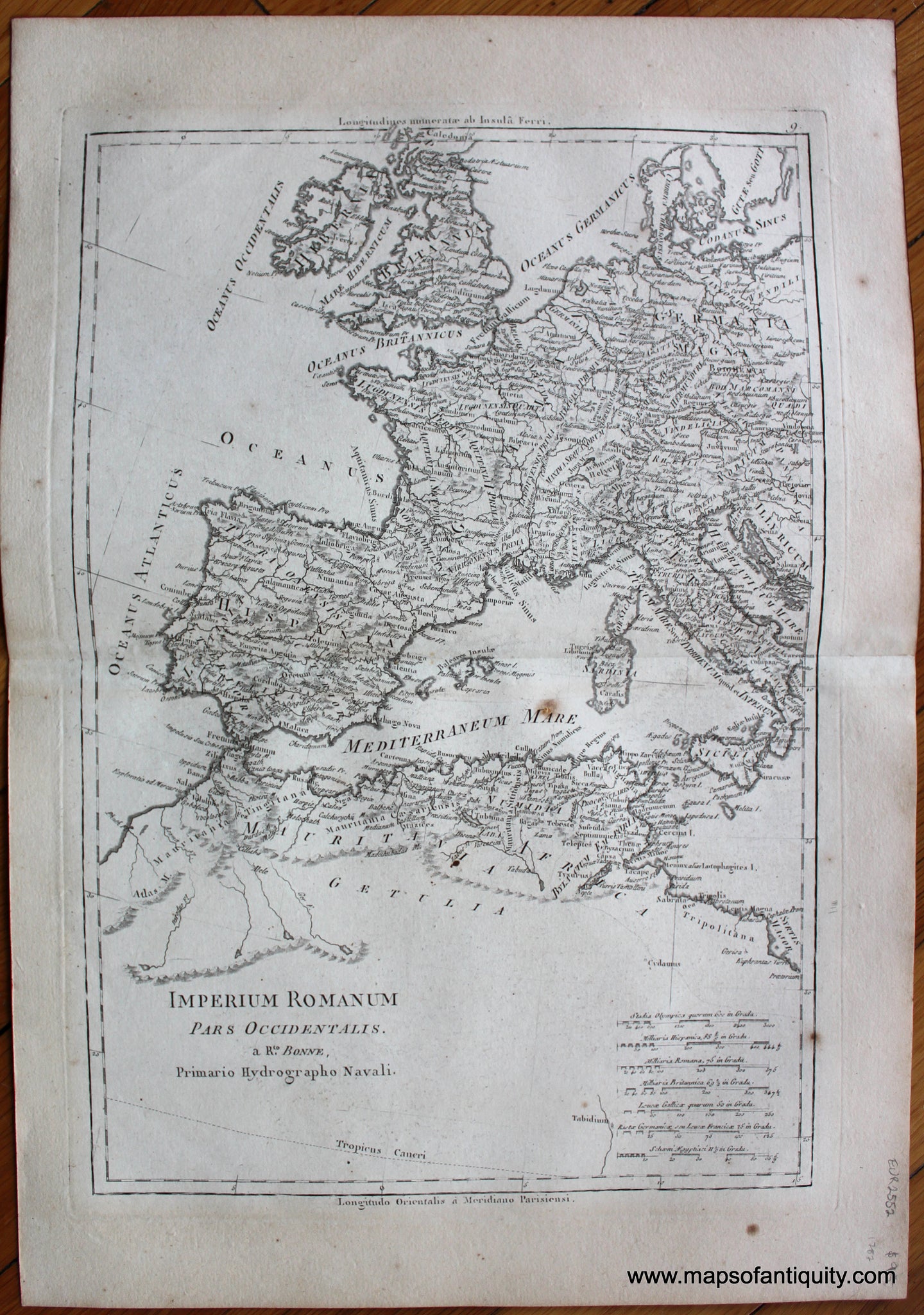
1787
Maker: Bonne and Desmarest.
Antique uncolored map showing the western portion of the Roman Empire, by Bonne and Desmarest, published in the 1787 Atlas Encyclopedique. With scales in a variety of measurements. Text is in Latin. Good condition with toning that is darker in the margins, some spots. Approx. 13.5 x 9.25 inches to the neatlines.
Item Number: EUR2552