Winter hours: Tuesday - Saturday 10am to 5pm. Close Sundays and Mondays until May. We appreciate your business!

Antique-Hand-Colored-Map-A-New-and-Accurate-Map-of-the-Southern-Provinces-of-Hindoostan-shewing-The-Territories-ceded-by-Tippoo-Saib-to-the-Different-Powers.-Jan.-1st-1800.-Asia-India-1803-Wilkinson-Maps-Of-Antiquity

1803 - A New and Accurate Map of the Southern Provinces of Hindoostan, shewing The Territories ceded by Tippoo Saib, to the Different Powers. Jan. 1st, 1800. - Antique Map

Regular price
$95.00
Sale price
$95.00
Regular price
Sold out
Unit price
per 
Shipping calculated at checkout.

Item number: ASI099
Genuine Antique Hand Colored Map
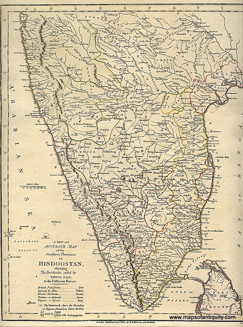
1803

Maker: Wilkinson.

Antique hand colored map from "A General Atlas, being a Collection of Maps of the World and Quarters the Principal Empires, Kingdoms &c. with their several Provinces & other Subdivisions, Correctly Delineated", By Robert Wilkinson, 1803. Very good overall antique condition, paper is toned, 9 x 11.25 inches.

Item Number: ASI099