
Item number: EUR2322
Genuine Antique Hand Colored Map
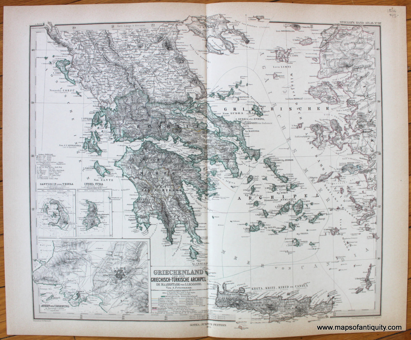
c. 1876
Maker: Stieler.
Antique hand colored map of Greece from Stieler's Hand-Atlas, c. 1876. Inset maps of Siros, Santorini, and Athens and vicinity. Shows cities, railroads, sailing routes, topography, bodies of water, as well as political divisions at that time. Text in German and other languages. Very good overall antique condition with toning at paper edges. Measures approx. 13 x 15.75 inches to the neatlines.
Item Number: EUR2322