
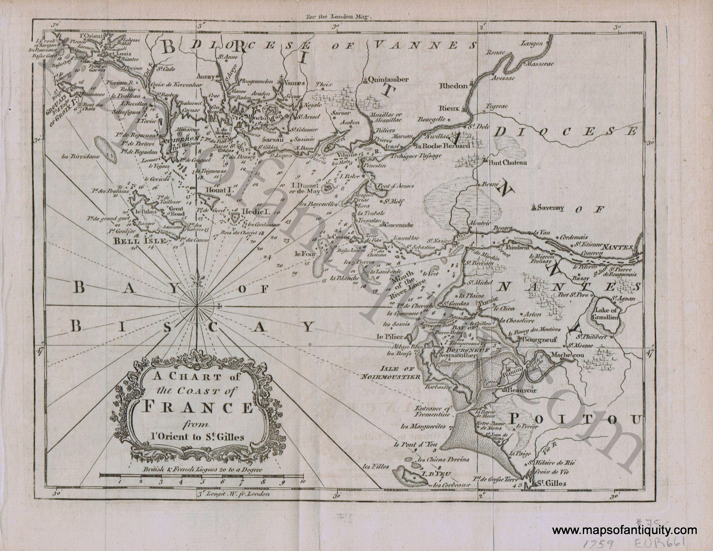
Item number: EUR661
Genuine Antique Map
1759
Maker: London Magazine.
Antique uncolored map of the Bay of Biscay coastline highlighting the mouth of the River Loire. Great detail including towns, cities, shoals, water depths, rivers, and forests. This was published around the time of the Seven Years War and the British occupation of Belle Ile. Very good overall antique condition with folds as issued. Measures approx. 7 x 9 inches to the neatline.
Item Number: EUR661