Winter hours: Tuesday - Saturday 10am to 5pm. Close Sundays and Mondays until May. We appreciate your business!

Antique-Hand-Colored-Map-Hindostan-or-British-India-Asia-Asia-India-1884-Gray-Maps-Of-Antiquity
1884 - Hindostan or British India, Asia - Antique Map
  • Load image into Gallery viewer, Antique-Hand-Colored-Map-Hindostan-or-British-India-Asia-Asia-India-1884-Gray-Maps-Of-Antiquity
  • Load image into Gallery viewer, 1884 - Hindostan or British India, Asia - Antique Map

1884 - Hindostan or British India, Asia - Antique Map

Regular price
$120.00
Sale price
$120.00
Regular price
Sold out
Unit price
per 
Shipping calculated at checkout.

Item number: ASI219
Genuine Antique Hand Colored Map

1884

Maker: Gray.

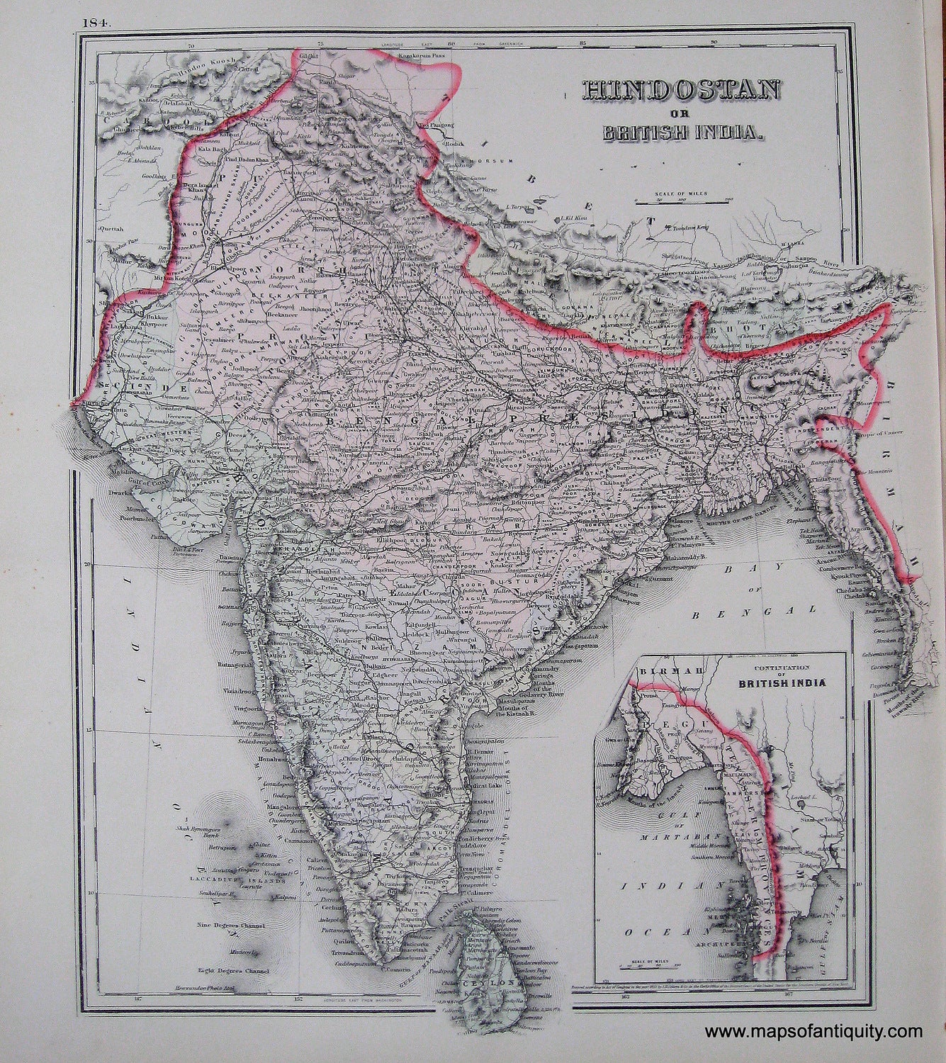
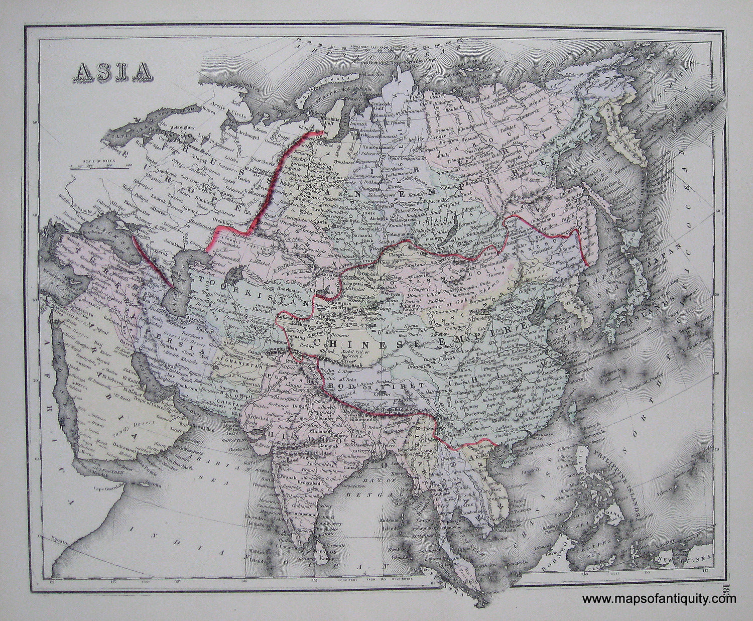
Antique hand colored map from "The National Atlas" of 1884. Shows townships, cities, land forms, bodies of water, rivers, and islands. Includes inset map of the Continuation of British India. Reverse side has a map of Asia. Very good overall antique condition with minimal light staining in margin. Approx. 15 x 13 inches.

Item Number: ASI219